by admin | Mar 13, 2026 | Aging, Books, Careers, Chicago, Civil rights, Climate, Disaster, Disaster policy, Disaster Recovery, Emergency Management, Government, Hazard Mitigation, History, Hurricanes, Immigration, Minnesota, Natural Hazards, Personal history, Politics, Public policy, Public safety, Resilience, Social Equity, Texas, War, Wildfire
Given the almost comically corrupt nature of Kristi Noem’s administration of the Department of Homeland Security (DHS) as its Secretary, I half-expected that her inevitable meltdown after the most recent Senate hearing would lead to flying monkeys celebrating as...
by admin | Nov 4, 2024 | Climate, Coastal Management, Disaster, Emergency Management, Floodplain management, Florida, Geography, Hurricanes, Natural Hazards, Resilience, Weather
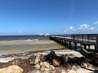
Barrier islands serve a purpose in nature’s scheme, offering a barrier of sorts to the movement of storm surge and high tides to the continental mainland. In both the Southeastern U.S. and the Texas Gulf Coast, such islands abound, but we have often ignored the power...
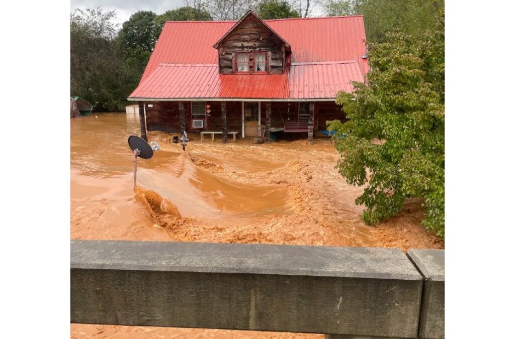
by admin | Oct 18, 2023 | Climate, Disaster, Disaster policy, Disaster Recovery, Emergency Management, Floodplain management, Floodplain management, Government, Hazard Mitigation, History, Iowa, Natural Hazards, Public safety, Resilience, Urban Planning, Weather
In the latter half of June 2008, it was hard to imagine Cedar Rapids as the city it had been just one month earlier. A massive flood along the Cedar River clobbered the city with a classic double whammy: About the time existing flood crests that had already swamped...
by admin | Sep 14, 2023 | Activism, Colorado, Disaster, Disaster Recovery, Emergency Management, Housing, Natural Hazards, Public safety, Urban Planning, Wildfire
The field production of Planning to Turn the Tide, the documentary film project of the American Planning Association’s Hazard Mitigation and Disaster Recovery (HMDR) Planning Division, has involved dozens of local volunteers and supporters in several states spread...
by admin | Sep 6, 2023 | Blogging, Colorado, Disaster, Disaster Recovery, Drought, Emergency Management, Floodplain management, Government, Hazard Mitigation, Infrastructure, Natural Hazards, Resilience, Urban Planning, Wildfire
Ten years ago this month, Colorado faced a crisis. Following previous years of drought and wildfires, Rocky Mountain monsoon rains dumped a year’s worth of precipitation on the Front Range in a single day. Water poured down mountainsides that were sometimes so parched...
by admin | Aug 29, 2023 | Climate, Coastal Management, Colorado, Disaster, Disaster policy, Emergency Management, Floodplain management, Hazard Mitigation, Movies, Natural Hazards, Resilience, Social Science, Urban Planning, Wildfire
As previous installments of our blog video series have indicated, the production team for Planning to Turn the Tide spent a great deal of time in June and July first in Florida, then on a two-week road trip to Colorado and Iowa from Chicago to capture additional...