Discovering a Piece of Chicago

It is possible to live in a city as large as Chicago and be blissfully unaware of some wonderful things. Chicago, after all, includes 2.7 million people spread over 227 square miles. My wife and I have lived here since 1986, but we do not spend much of our time traversing unfamiliar neighborhoods. Like most people, we have well-worn paths, and at times we visit new areas where we know people and learn from them. Also, like most people with cars, we drive by certain areas without taking time to really see all that they contain, as one might on foot. Because I walk through my own neighborhood, I know a great deal about what is happening. But there are others where I have not a clue.

Chicago is nothing, however, if not full of pleasant surprises. Never mind unpleasant headlines or presidential tweets about crime rates. There are reasons why millions of people still live here. I discovered one this Labor Day weekend through sheer serendipity. I participated in a small workshop at a home on North Virginia Avenue, a street I had never visited before. I looked it up on Google maps and discovered that the homes on the west side of the street border a great park along the North Channel of the North Branch of the Chicago River, a drainage canal built more than a century ago. This channel extends straight north from where it joins the North Branch around Carmen St., just south of Foster Avenue, a major east-west artery that extends from Lake Michigan through Chicago’s North Side into the northwestern suburbs.
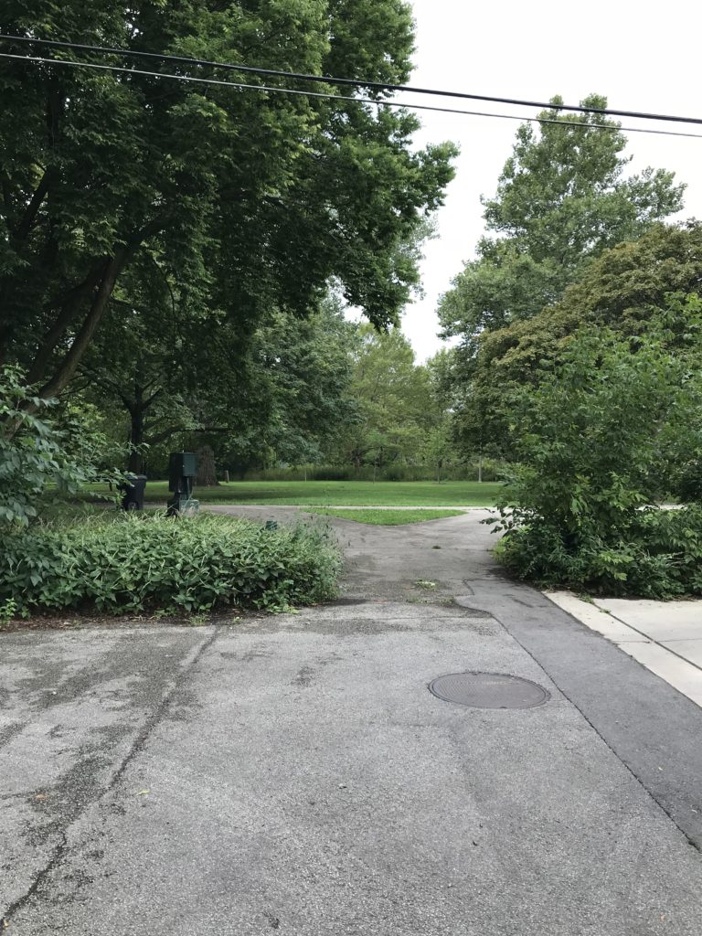
Entrance to Legion Park from Ardmore St.

What I saw on the map invited me to explore after I left the event, a little more than half a mile north of Foster, several miles from downtown. I soon realized what a gorgeous asset this neighborhood has just beyond its western edge, and what a gorgeous day I had chosen for my short walk. As at other corners along N. Virginia Avenue, Ardmore terminates on a short stub that opens onto a trail inside Legion Park.
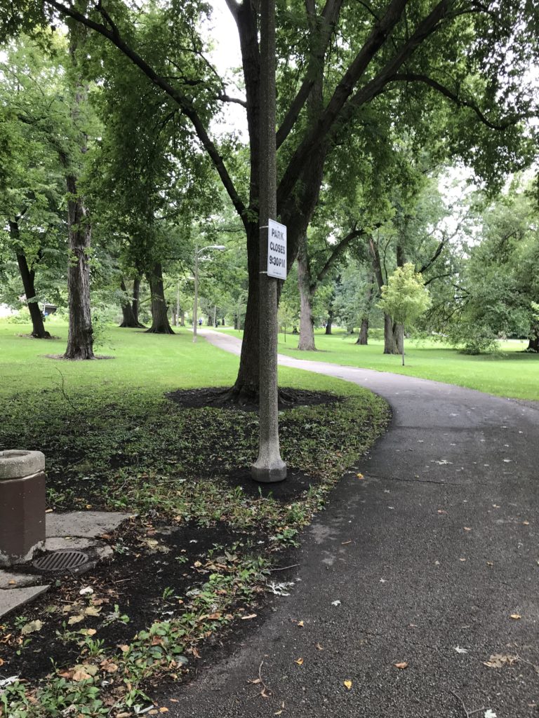
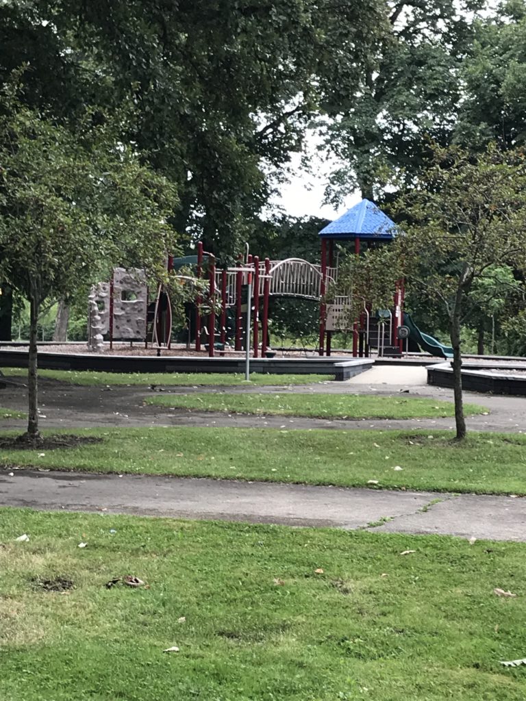
A couple of asphalt paths provide walking, jogging, and bicycle trails with a very modest amount of traffic behind an area largely composed of single-family homes. Between the paths stand a variety of well-maintained deciduous trees whose shade both quiets and cools the park space. As I walked south toward Bryn Mawr Avenue, a major street with a bridge over the channel, the Legion Park Playground, a small haven for children needing adventure and exercise, loomed ahead. A mother and two daughters were using the merry-go-round. In the distance, on the far trail, came bicyclists who never noticed my small camera and did not need to. It was past 1 p.m. on a Sunday afternoon, and it was all so peaceful I could have sat and communed with nature for hours, undisturbed. Someday I may return for that purpose, but today I wanted to explore.
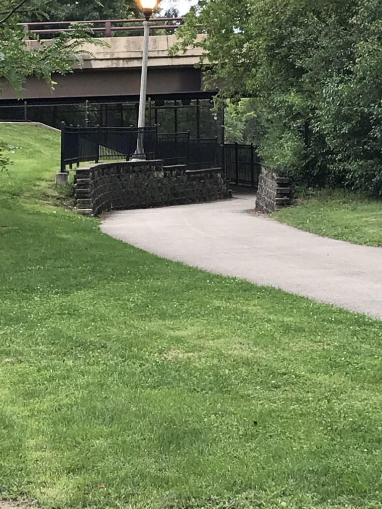
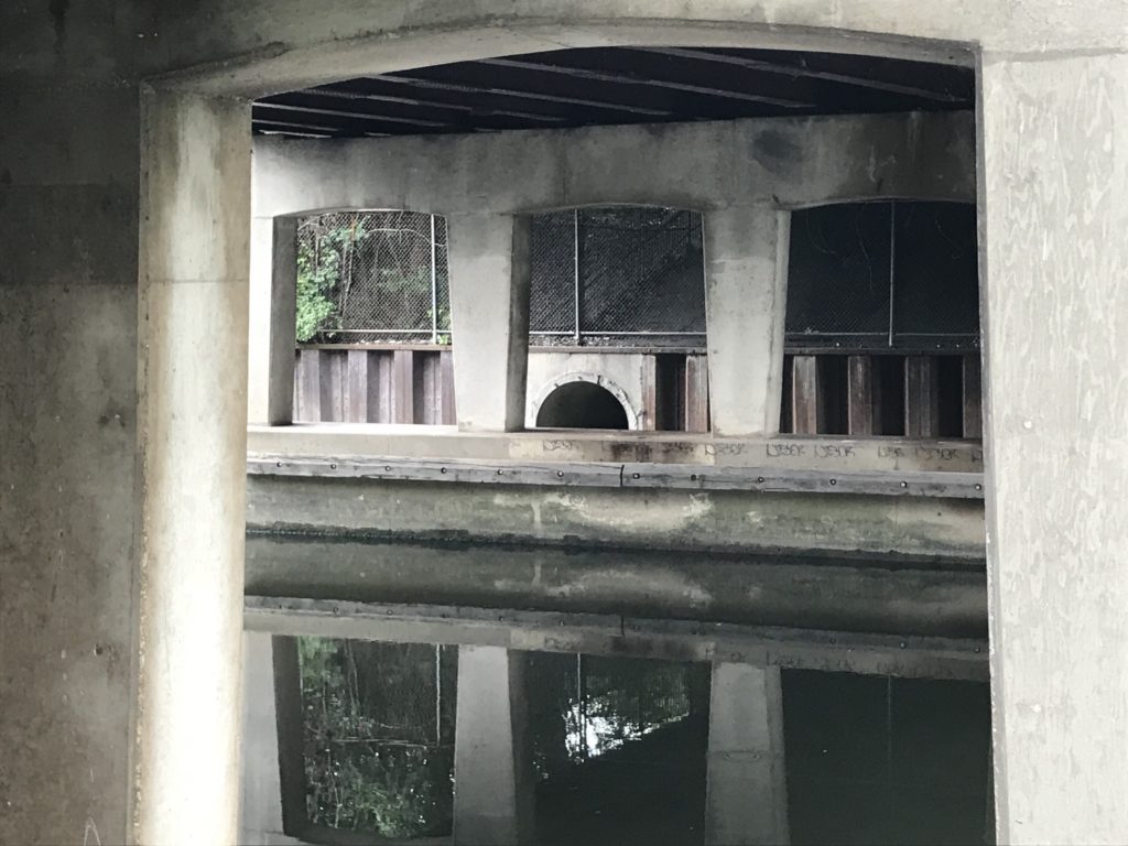
Exploration led me to a follow a cross-path to the North Shore Channel trail closer to the water, which, for the most part, lay hidden behind a screen of forest and uncut grasses, but the trail now led closer to the water by passing under the street above, leading me to a brick wall topped by wrought-iron fencing. Inside the tunnel I found the concrete support system for the road above, the sort of infrastructure that reminds you of what is necessary to allow a road to cross the waterway with minimal disturbance. If it was quiet in the park, it was even quieter down here. The water may not have been especially clean, but in its stillness, it provided a vivid reflection of both the steel girders and the verdant growth above it.
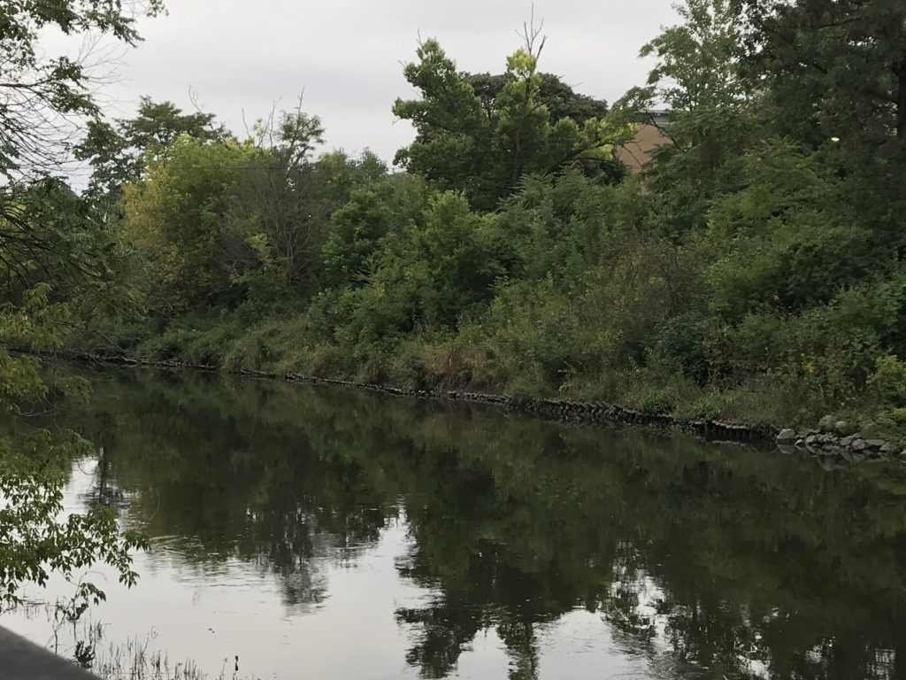
And then, just a few feet away, the waterway emerged in full daylight, with all the foliage that grew above its banks, all the way down to the riprap at the water’s edge. In a matter of seconds, I found myself south of Bryn Mawr, with a whole new section of the park emerging with its own paths, its own playground, and its own softball diamond. I quickly realized that the park was the backdrop to North Side Preparatory High School, which fronts on Kedzie Avenue, but enjoys a remarkable backyard view for those with the wisdom to take it all in.
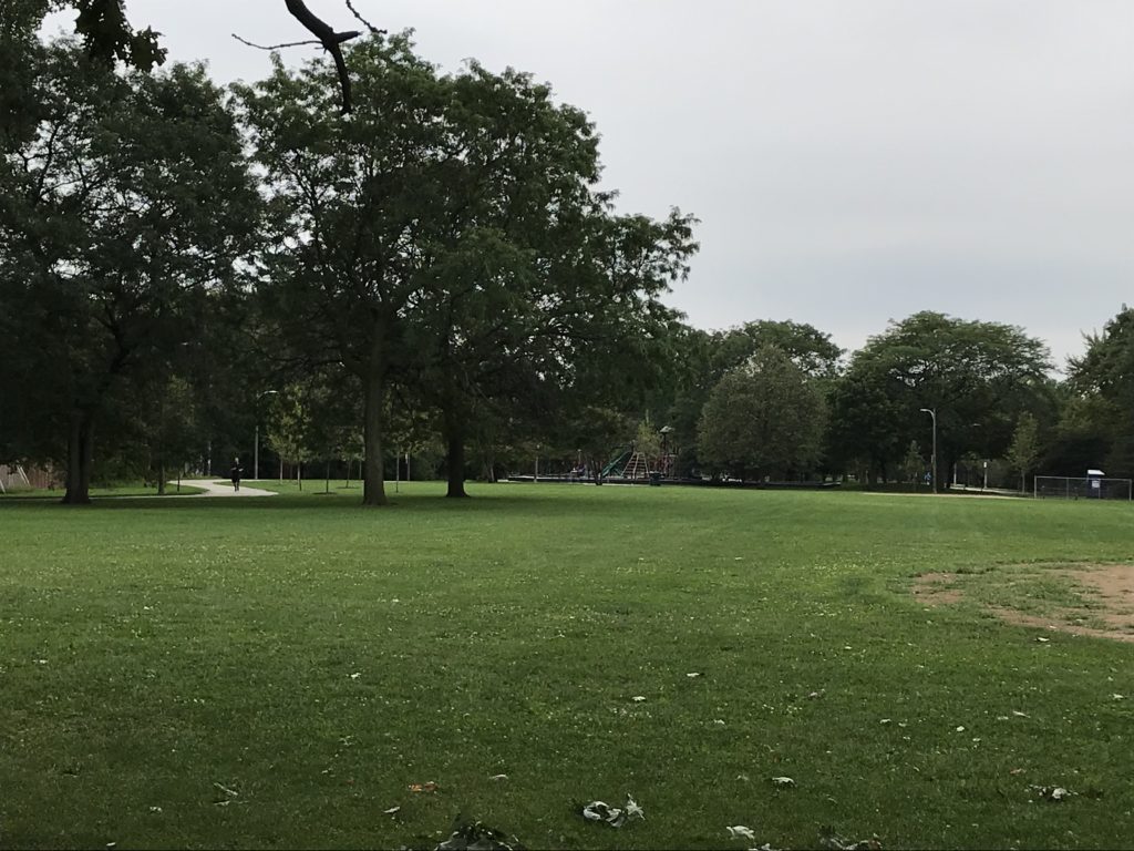
All this took me perhaps 20 minutes of a slow stroll, with time to shoot photographs. I am aware from the map, and from the sight lines of the channel, that the park extends much farther both south and north from what I saw. But it reminded me, with my own knowledge of the urban landscape as a planner, that cities sometimes, accidentally or intentionally, remember that the best use of a floodplain often is open space, not development, and that the result can be a beautiful asset for the areas around it that are above the water. In Legion Park, even with what to my knowledge is a minimal history of flooding, there is ample room for the water to overflow its banks while harming nothing. The natural environment responds to the freedom we have allowed it and provides us with solitude, and beauty, and an abundance of ecological services. The city can co-exist with its riparian corridors, which afford habitat and recreation in the same space.
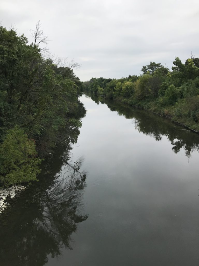
Chicago, in recent years, has been discovering that the sacred community space it has preserved so doggedly along its lakefront can and should include its riverfronts as well. The city has cleaned up and improved its Riverwalk along the main channel of the Chicago River downtown, a development I profiled on this blog about three years ago. In this morning’s Chicago Tribune, I read of new kiosk vendors doing business in a new covered space below Wacker Drive along the Riverwalk. But the Chicago River and its tributaries extend much farther into the heart of the city, and they can all serve a purpose in making the city more livable. In fact, in these less populated, less densely developed areas, the very openness and the greater stillness can inspire a spirituality that is harder to achieve in the downtown canyons that linger below skyscrapers and honking traffic. In Legion Park, I could not even hear the traffic. I could only see it in the distance—or witness it on two wheels as someone bicycled past me. What a magnificent gift. We should appreciate such treasures for all they are worth.

Jim Schwab

FEMA Needs to Think about This One

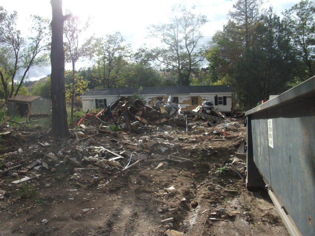
Flooded property in Lyons, Colorado, after the St. Vrain River flooded in September 2013.

There is that old saying that, if it ain’t broke, don’t fix it. To that, one might add that, if you’re thinking about fixing it anyway, you may want to clarify exactly how you wish to improve things and why you think the improvement will be better.

In a February 27 notice in the Federal Register, the Federal Emergency Management Agency (FEMA) proposed a major change in long-standing hazard mitigation rules regarding grants for acquisitions of flooded properties that made almost no effort to meet that test. I wish I had noticed it earlier because the deadline for comments was April 30. I submitted a brief comment on that date and tried to rally others on Facebook, but the truth is that this one got away from me. I was busy on other fronts. I have subsequently spent a few days gathering background information.

I am very glad that a few national organizations like the Association of State Floodplain Managers (ASFPM), American Rivers, and the Natural Resources Defense Council (NRDC) found time to file substantial objections to FEMA’s notice on Property Acquisitions and Relocation for Open Space (Docket ID: FEMA-2018-0006). Their objections raise profound questions about both the process and the substance of FEMA’s proposed changes. Others have also submitted comments.

Here’s the bottom line: For 30 years since the passage of the Stafford Act, which provides the basic framework of most federal disaster law, federal hazard mitigation grant programs have required that lands being acquired from property owners whose homes have been flooded must be placed into perpetual open space following demolition of the structures. The clear intent is to reduce the ongoing exposure of the federal government and the National Flood Insurance Program to repeated losses by precluding further development in those flood-prone areas. By and large, those grants go through state and local governments, which then maintain those open spaces and must periodically certify to FEMA that the lands remain in that status. Today, those grant programs include not only the Hazard Mitigation Grant Program (HMGP), a sometimes-substantial source of mitigation funding that is available after a presidentially declared disaster; the Pre-Disaster Mitigation (PDM) program, created as part of the Disaster Mitigation Act of 2000, which amended the Stafford Act; and Flood Mitigation Assistance (FMA), part of which deals with Severe Repetitive Loss properties, which make up a disproportionate share of overall flood claims.

In the notice, FEMA has announced a new option to allow owners of flooded properties to retain the underlying land while being paid to demolish the structures, thereby permitting them to eventually rebuild on that same flood-prone land. Because mitigation grants have gone from FEMA through states to local governments, those governments have been responsible for the open space programs that result. This new approach would allow the property owner the option of taking the grant directly from FEMA. In its comments on the proposal, ASFPM noted that, in the 2004 NFIP reform legislation, it supported providing FEMA the option to deal directly with property owners, mostly because some local governments have lacked the capacity to monitor the open space requirements, but it still expected that FEMA would consult with those governments before using that option as a means of maintaining consistency with state and local hazard mitigation policy. The current notice makes no mention of such coordination.

Elevation of flooded properties remains a viable option in many cases.

It is not as if these owners do not have other options for mitigating future flood damage, including elevation of residential structures above the 100-year base flood elevation established on FEMA flood insurance rate maps, or floodproofing the structure. But, the thinking seems to be, some owners will be more willing to demolish if they can retain the land. One possibility for some might be to retain the land, rebuild in due course, and flip the improved property while leaving the NFIP with continued flood loss exposures. How that helps federal taxpayers or other flood insurance rate payers is not especially clear.

The Federal Register announcement does nothing to make that clear. If you follow the link and read the notice, you are likely to experience my reaction, which was that I felt left in the dark regarding the rationale for making this move, which is not explained. Nor does FEMA provide any data to support the idea that this initiative would do anything to reduce flood losses. The opposite could easily prove true.

In an April 26 article in Insurance Journal, former FEMA administrator Craig Fugate offers some support for the new option by noting that placing land in permanent open space through a buyout is often a “hard sell.” That may well be, but it is partly because the solution is meant to be effective and lasting. It is also not as if the approach has lacked success. As NRDC notes in its comments, citing ASFPM case studies, more than 30,000 floodplain properties have been removed from development since 1993, many of them following major cataclysms such as the 1993 and 2008 Midwest floods and various hurricanes.

Perhaps more telling is the question of homeowners’ motivation in making the difficult decision to sell and relocate. The idea that people would necessarily prefer to be able to rebuild in the same location is not as clear or straightforward as some might assume, though there are, no doubt, advocates of property rights who would prefer to create the new option. But this emotional decision contains some factors that should not be ignored. Perhaps straight to the point is this comment from American Rivers:

Our experience working with floodplain managers has taught us that convincing property owners to accept a buyout is an emotional and difficult decision, and many are only willing to accept the buyout offer after they are assured that the property will be preserved as open space for the good of the public. Offering direct grants that allow new construction where a structure was demolished could be at odds with local hazard mitigation plans and efforts to acquire flood prone properties for open space. FEMA should instead be working to support the implementation of open space goals in local and state hazard mitigation grants.

In other words, many of those choosing a buyout, having suffered the damages of severe and repetitive losses from flooding, and aware of the larger issues concerning the public good in these situations, would rather ensure that nothing like this happens again, at least in their community. But what happens to the motivation undergirding their willingness to sell if they become acutely aware that their neighbors now have the option of prolonging the pain by not placing the land in permanent open space? Will they still feel that they are accomplishing anything by pursuing the traditional option? In any event, are these not the people whose choices we most want to honor for the greater good of the community?

City-acquired open space in Cedar Falls, Iowa, near the Cedar River.

The essential reason all this is important is that we have learned much over the years about the natural and beneficial functions of floodplains, which include soil enrichment, wildlife habitat, reduced flood severity, and reductions in erosion and stormwater runoff, to name a few, in addition to the potential recreational functions of waterfront parks and open space. All this is in addition to the fiscal benefits of reducing future floodplain losses in the areas affected. If all that is not reason enough for FEMA to pause, rethink the question, and at least offer some solid scientific and economic documentation of the benefits of the proposed new approach, then I am not sure what is. Otherwise, count me a serious skeptic.

Jim Schwab