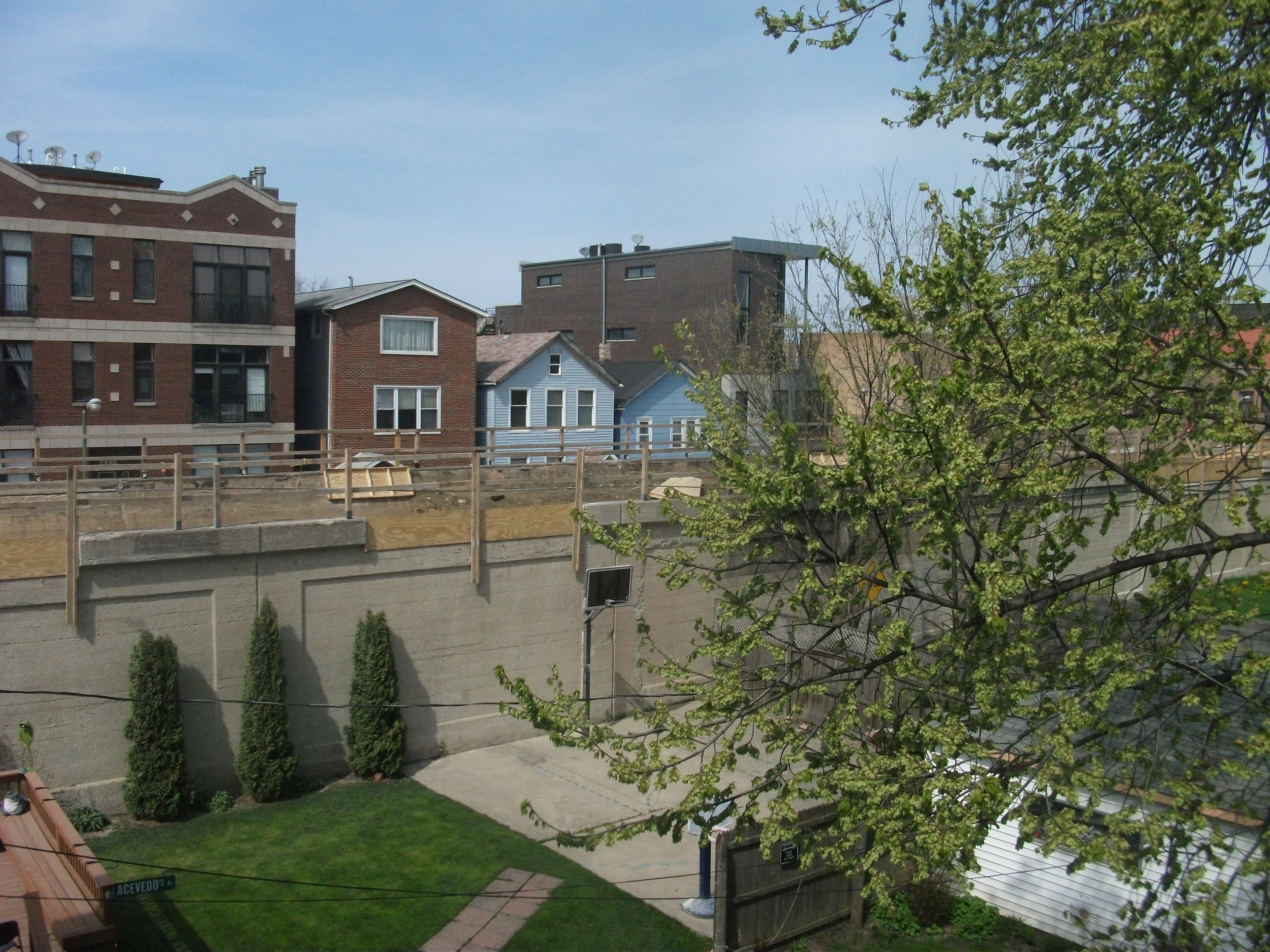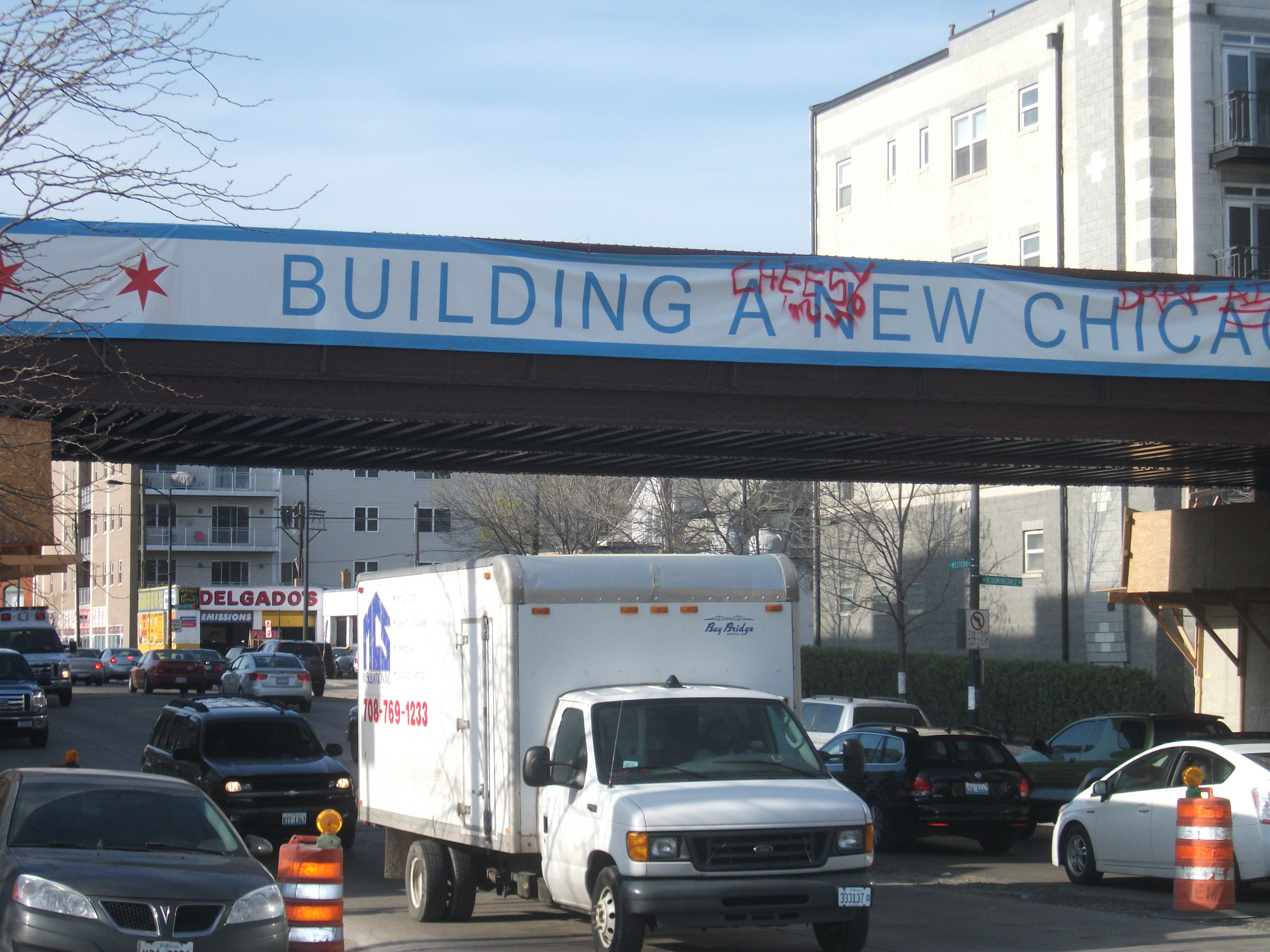
More than a century ago, the City of Chicago settled a neighborhood dispute by forcing the elevation of a railroad bed for a 2.7-mile spur line that served a variety of small factories on its North Side that provided jobs for a string of neighborhoods in or near Bloomingdale Avenue. The Burlington Northern Railroad had first built the line in the 1870s, but by 1910 it was on a collision course with the surrounding residential areas as auto and pedestrian traffic met freight cars at street grade. Within a few years, the rail cars were running about 16 feet above street level, with 37 viaducts providing overpasses above uninterrupted street traffic below. By the end of the century, however, many of the factories were gone, or were converted to condominiums, and trucks served whatever shipping needs remained. The rail spur had become an anachronism, and eventually the right-of-way reverted to the city.
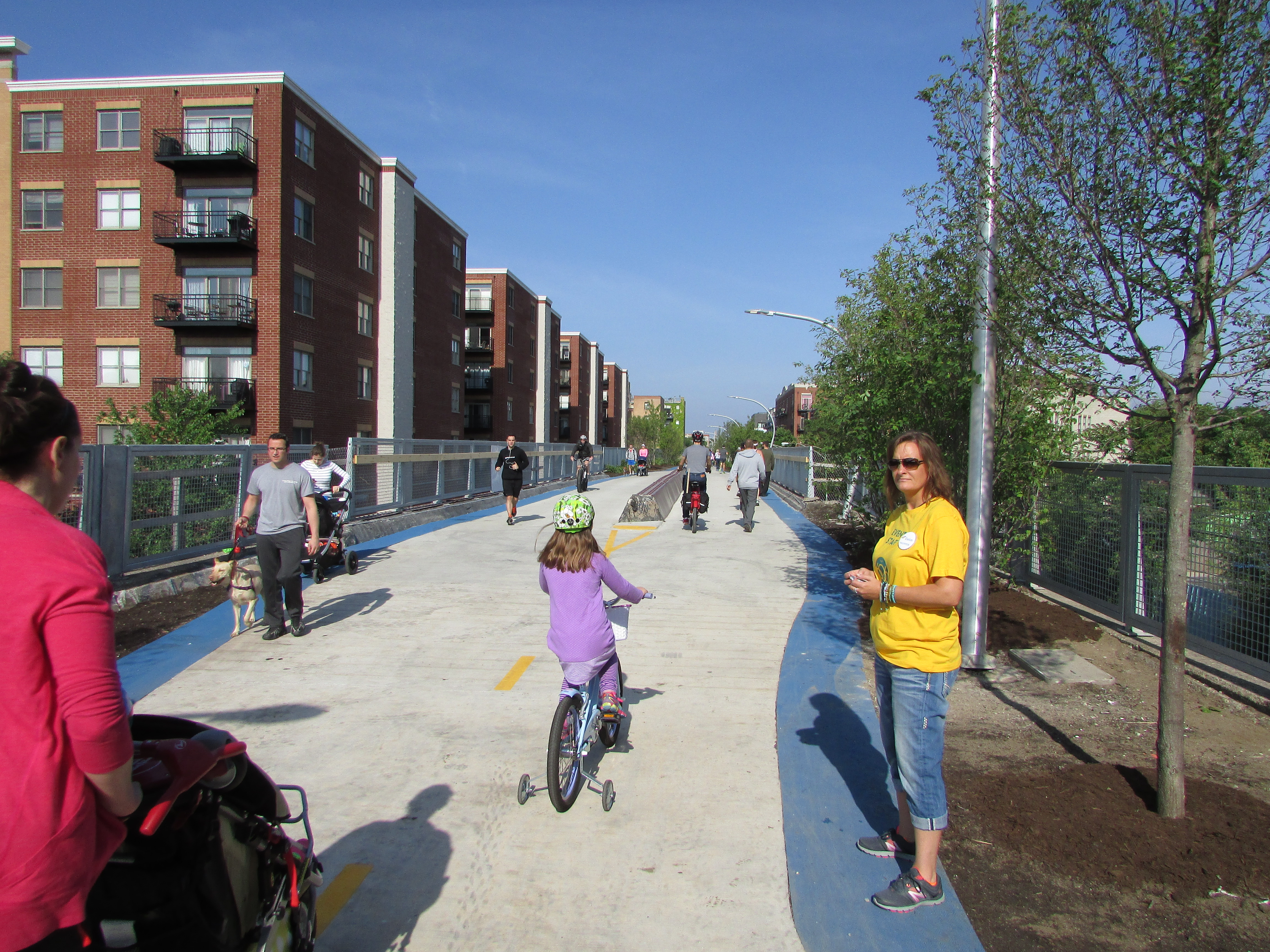
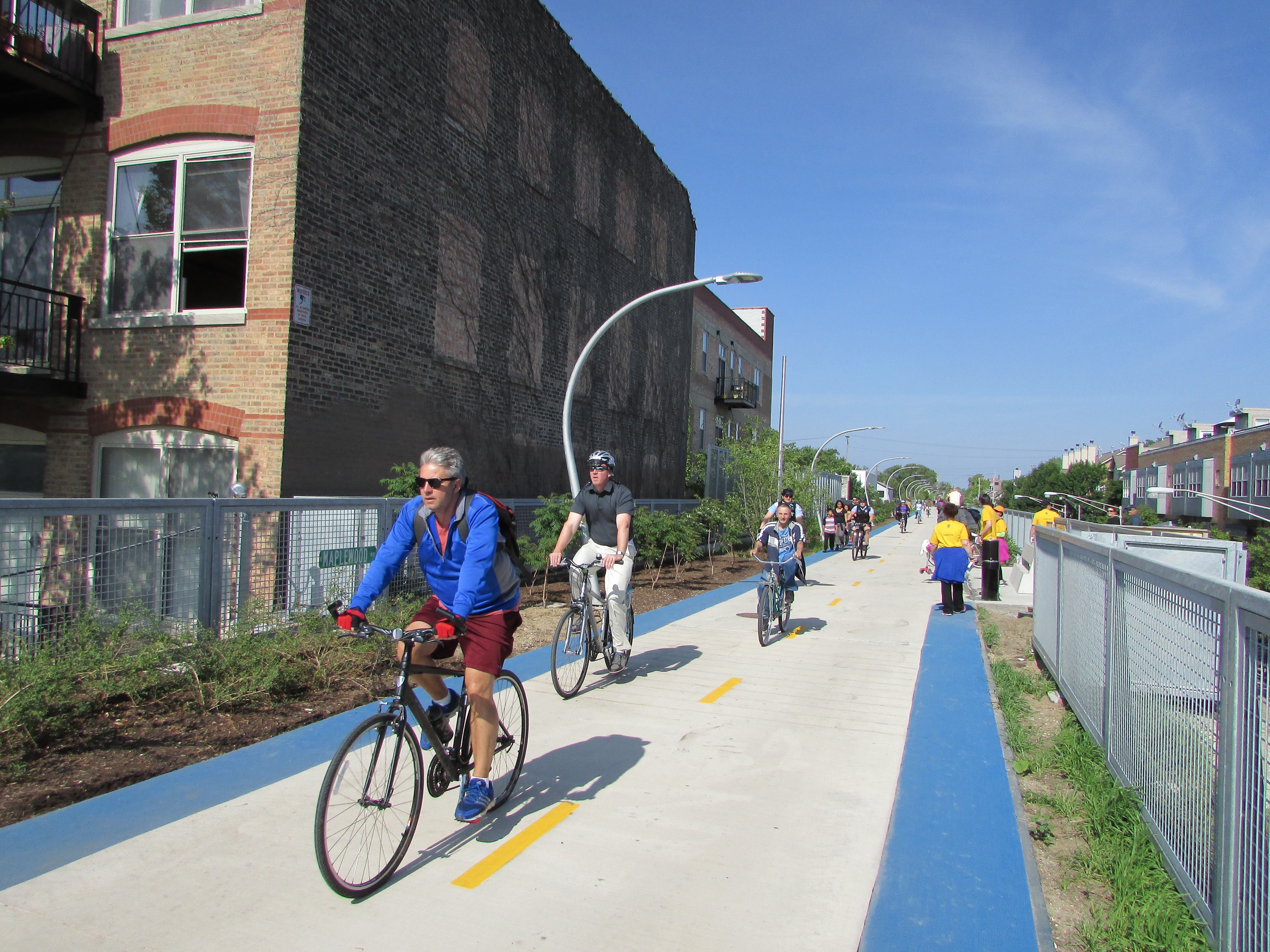
Dog walkers, children on tricycles and in strollers, all along the length of the Trail. Volunteers in yellow shirts were plentiful along the route.
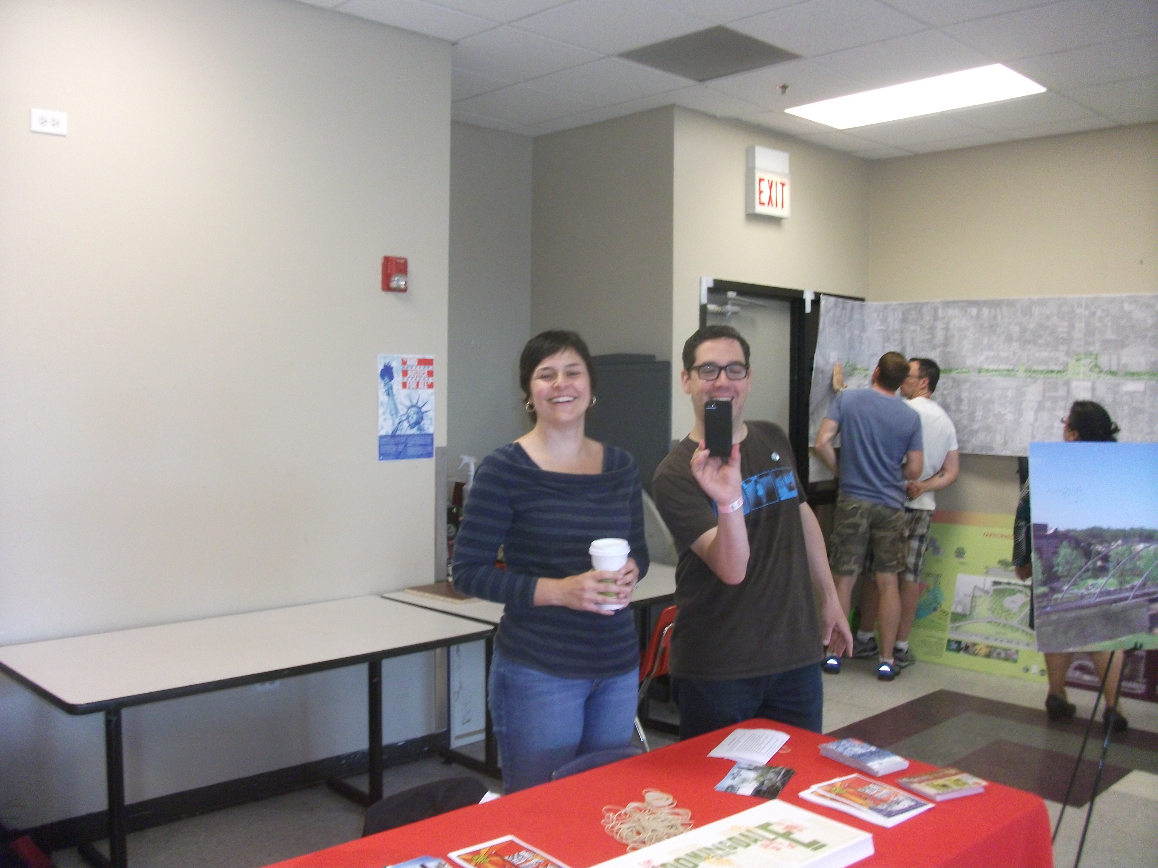
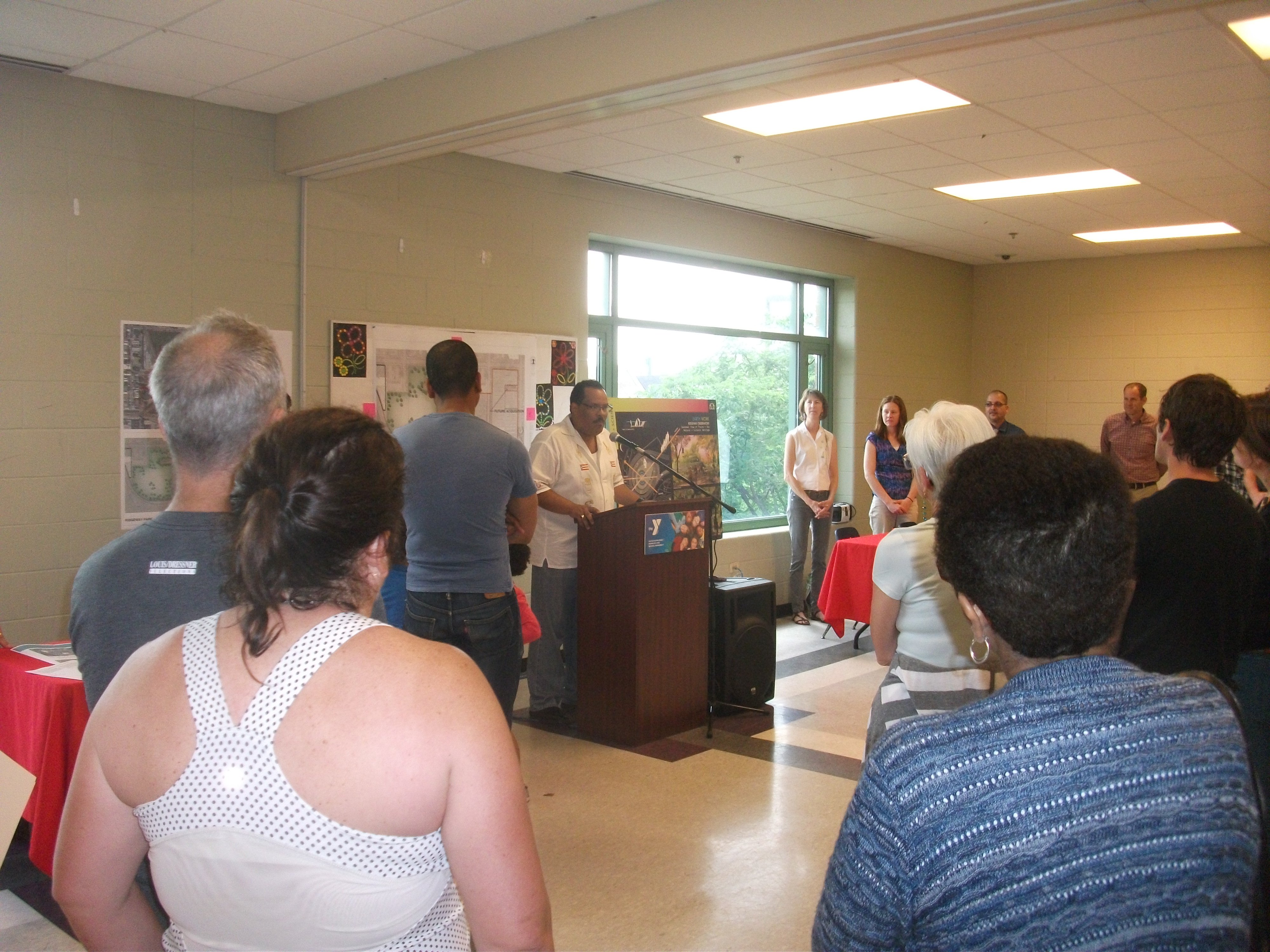
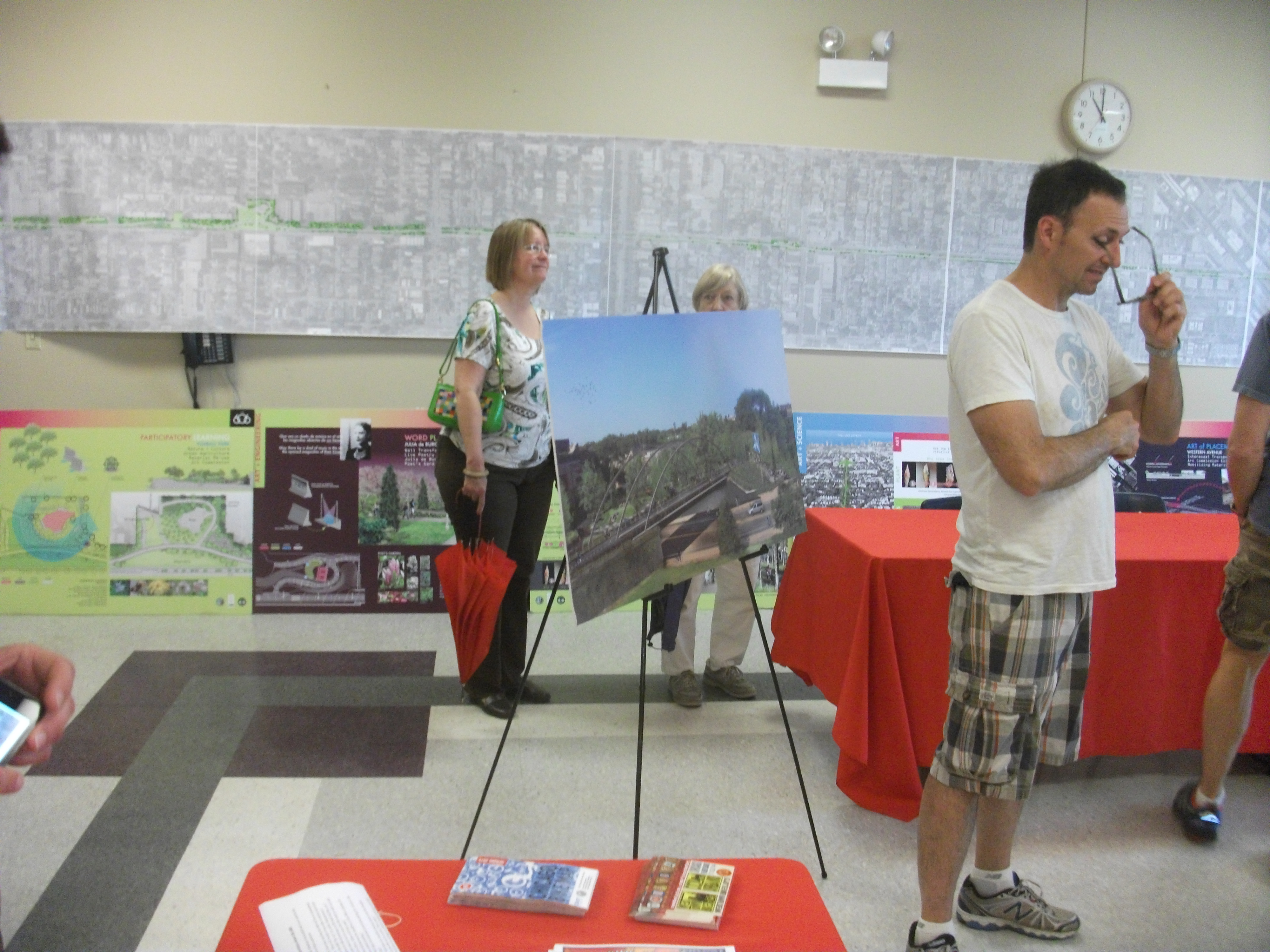
During that time, a vision developed of a different kind of urban space, a linear park that would become the nation’s second elevated rail-trail, following the High Line in Manhattan. Funded largely with federal transportation enhancement funds,
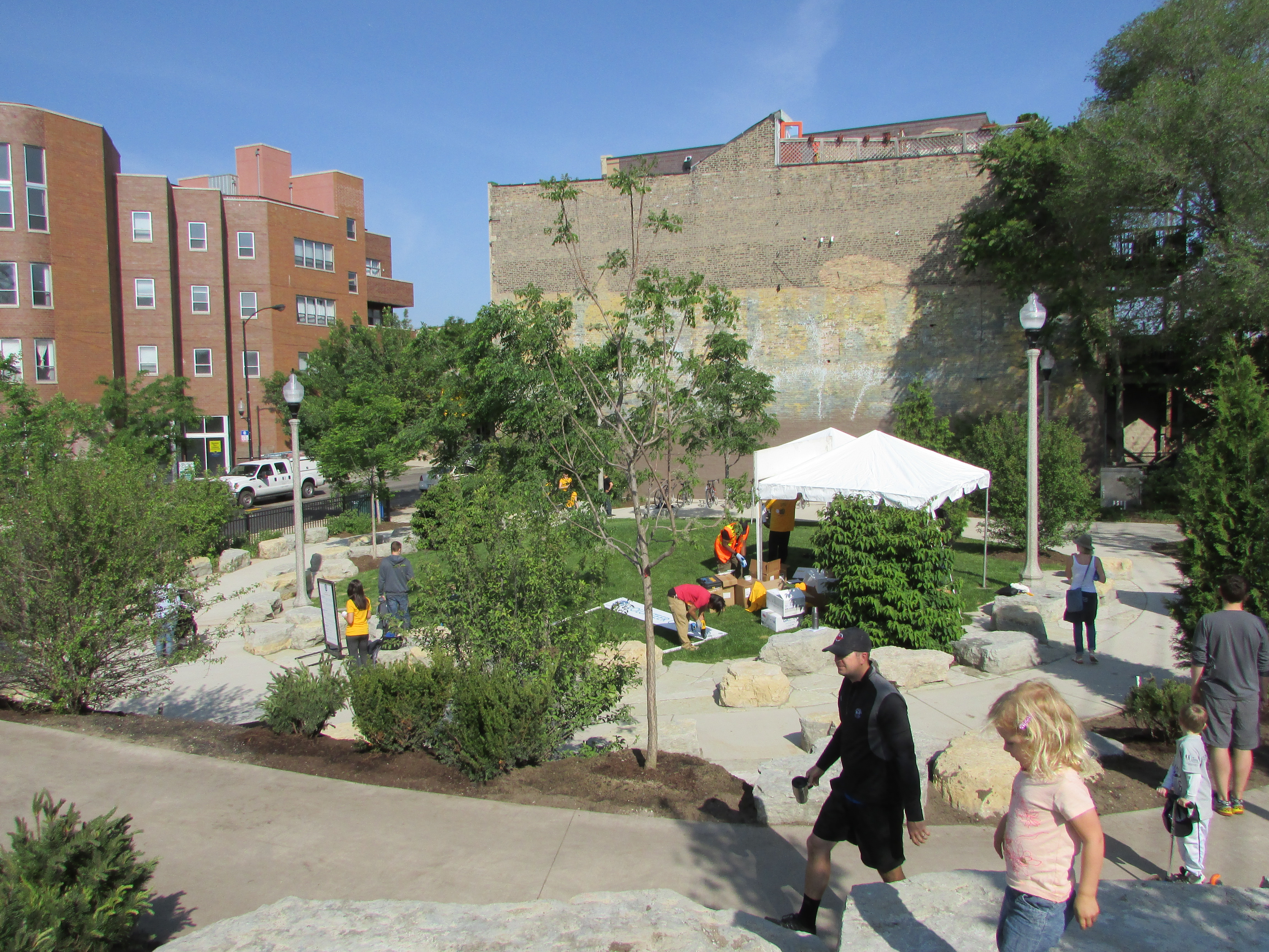
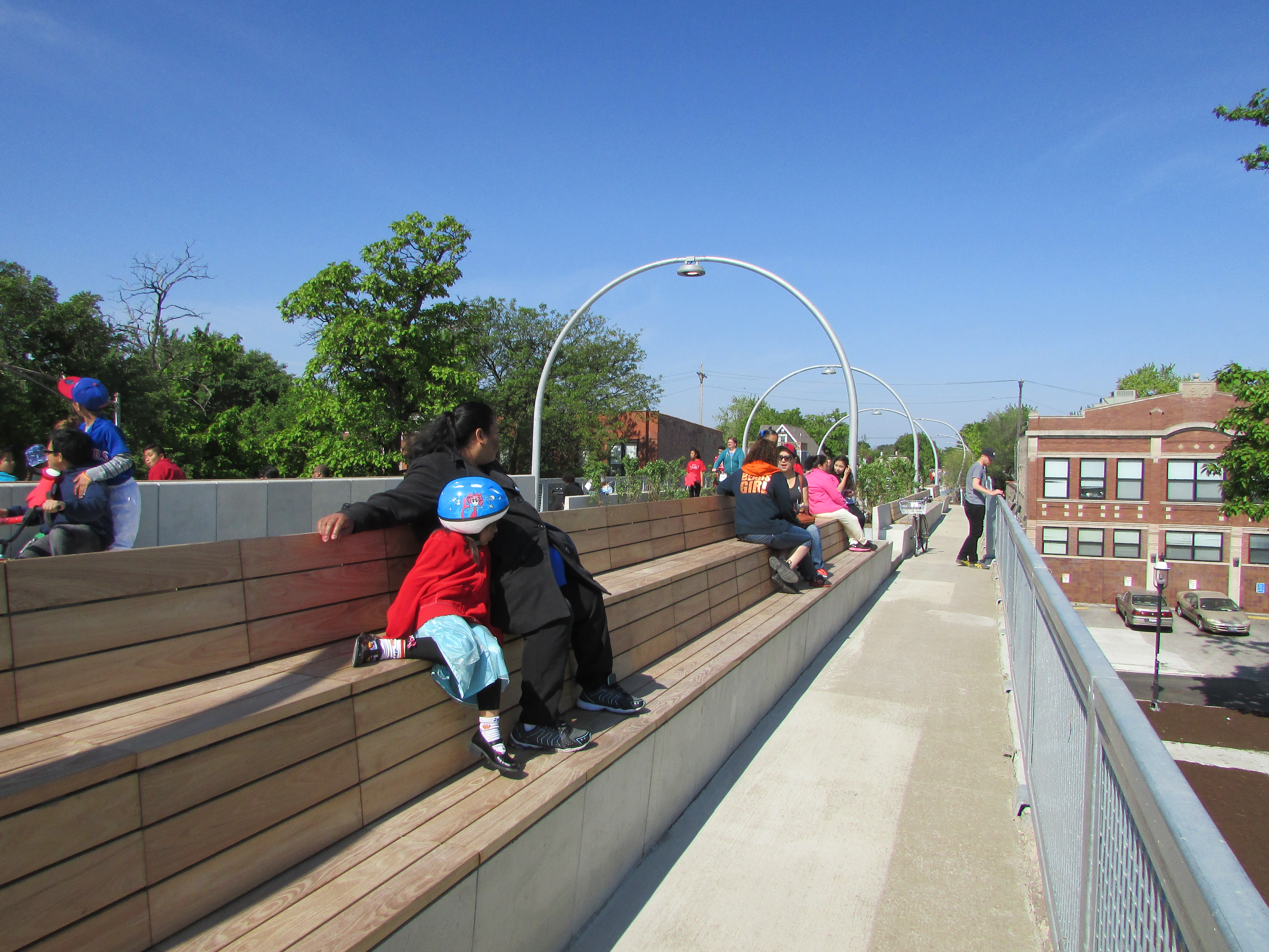
Winding, ADA-compliant access ramps connect pocket parks, such as Park 567 here, to the trail above.
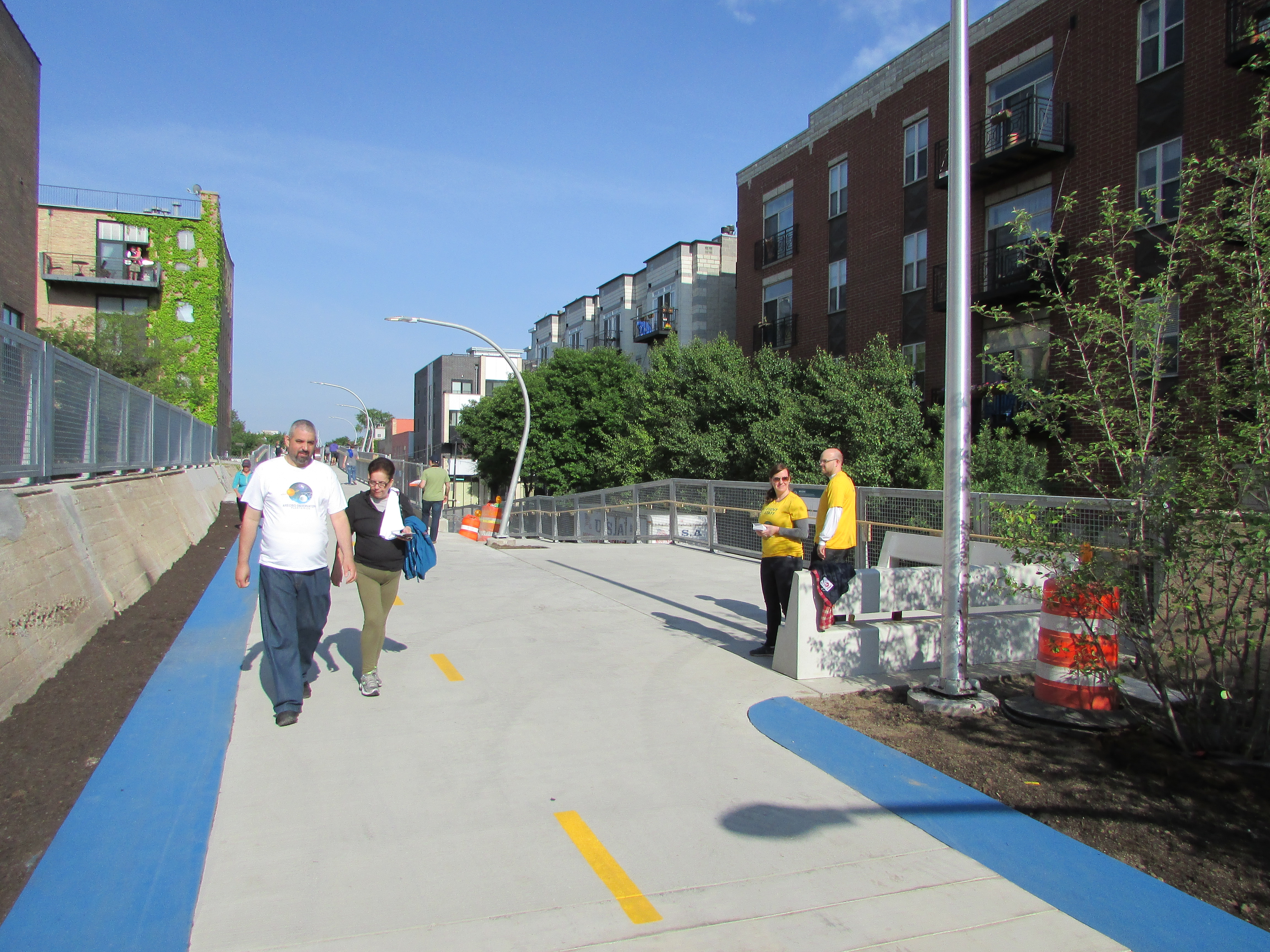
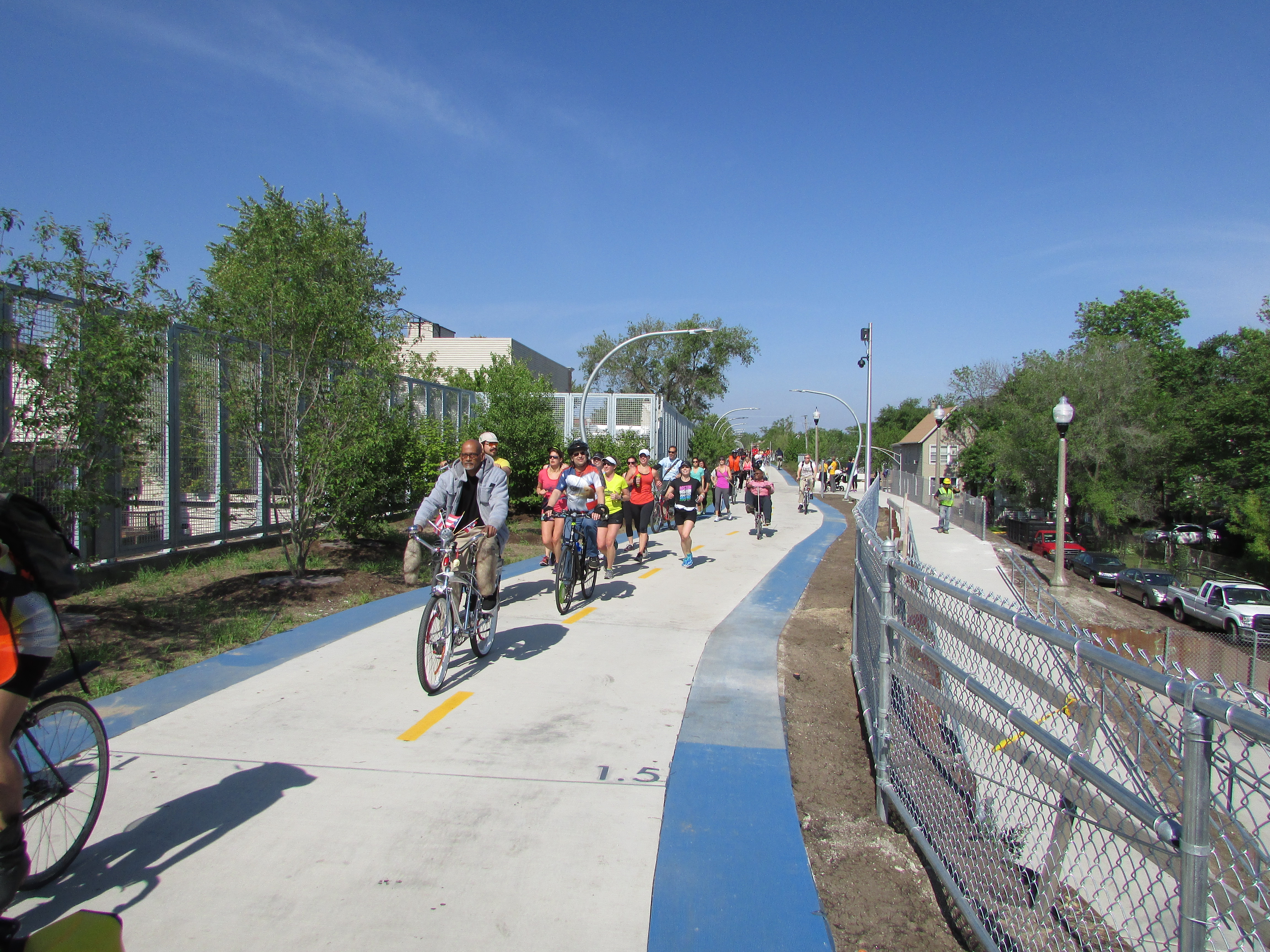
supplemented by some city money and millions in local fundraising, the Bloomingdale Trail moved from dream to concept to an actual plan by 2013, and finally, on Saturday, June 6, a reality as the trail opened, complete with 17 access ramps and Mayor Rahm Emanuel surveying its length as the leader of a small bicycle troupe accompanied by a handful of police. Thousands of Chicagoans moved onto the trail, on foot, on bicycles and tricycles, and in strollers, taking in the newest amenity in town amid street celebrations and music on Humboldt Avenue and with children’s activities in pocket parks along the way. A host of volunteers in yellow shirts welcomed the visitors and directed them to the day’s festivities. Residents had waited a long time for this day. They finally realized the imaginative transformation of an urban space that long had seemed neglected. The 606 Project, originally known as the Bloomingdale Trail, became a new source of healthy recreation.
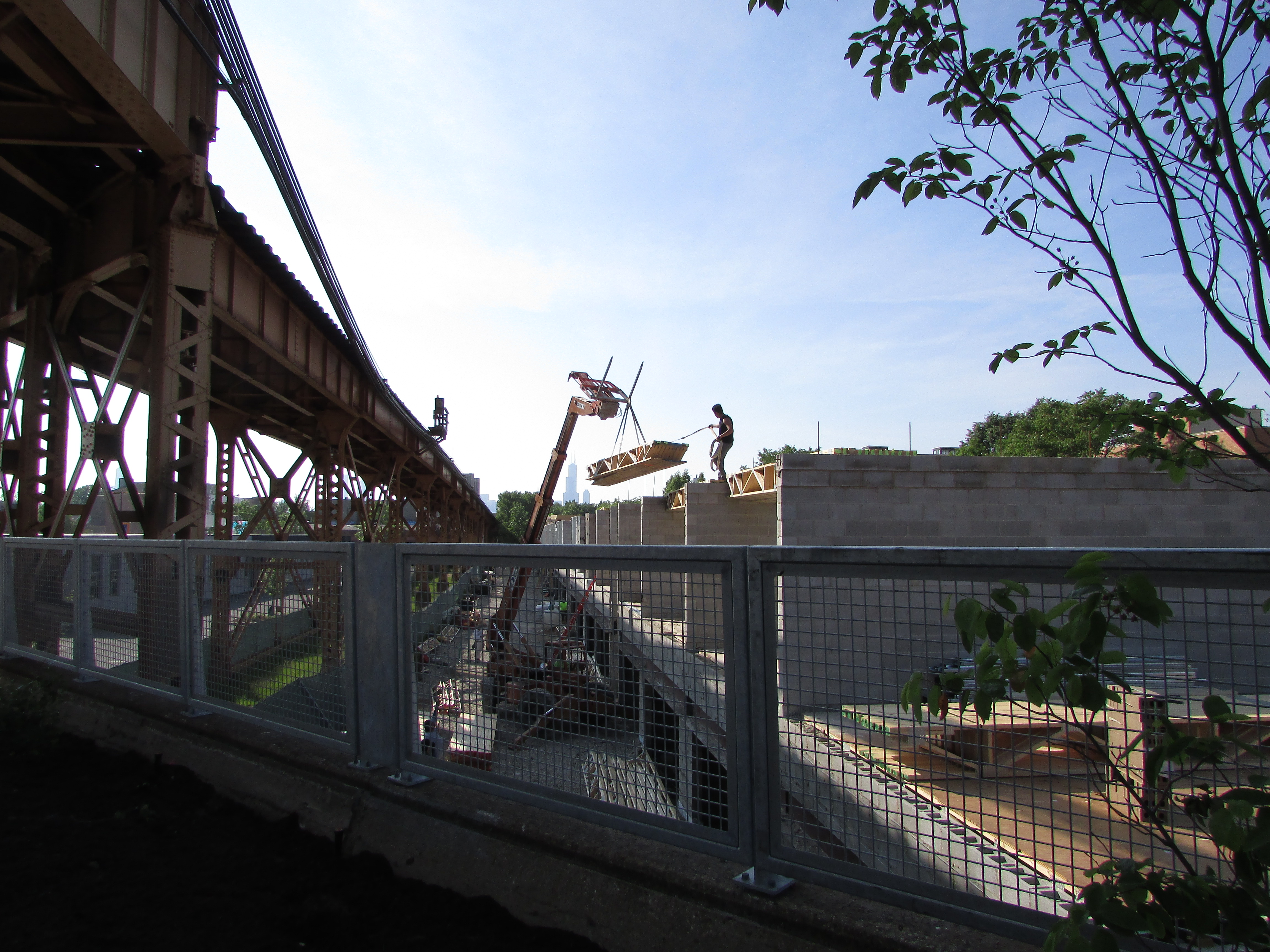
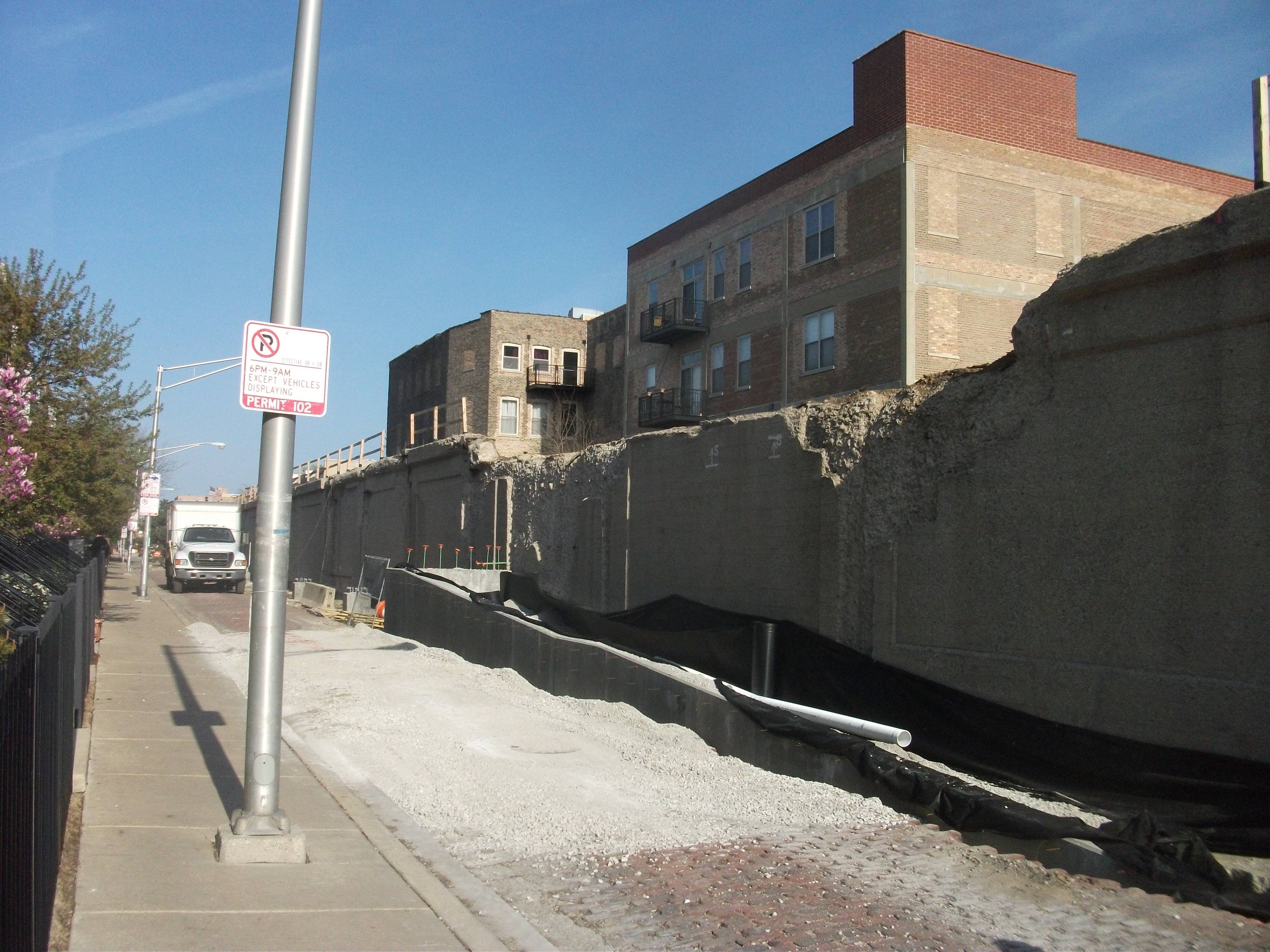
New construction is a common site along the trail. This site is near Milwaukee Avenue and parallel to the CTA Blue Line, which crosses the trail.
And, for some, an abiding fear of displacement. That was almost surely to be expected. Development of the trail followed the 2008 recession, with its sudden decline in housing prices, followed by a more recent uptick. For Chicago, that uptick has been nearly citywide, but there are disparities, and it has been noted repeatedly that the trail links disparate neighborhoods. To the east, starting around Ashland Avenue, neighborhoods within a mile of the trail were gentrified at least a decade ago. As one approaches the western terminus, at Ridgeway, household incomes and property values have been remarkably lower, and the percentage of renters much higher. Renters, of course, have much less control over rising housing costs than homeowners, on two counts—one, that rents can go up, but two, that affordable rental units can be torn down or rehabbed and converted into more expensive units, resulting in potential displacement in favor of newcomers with more income.
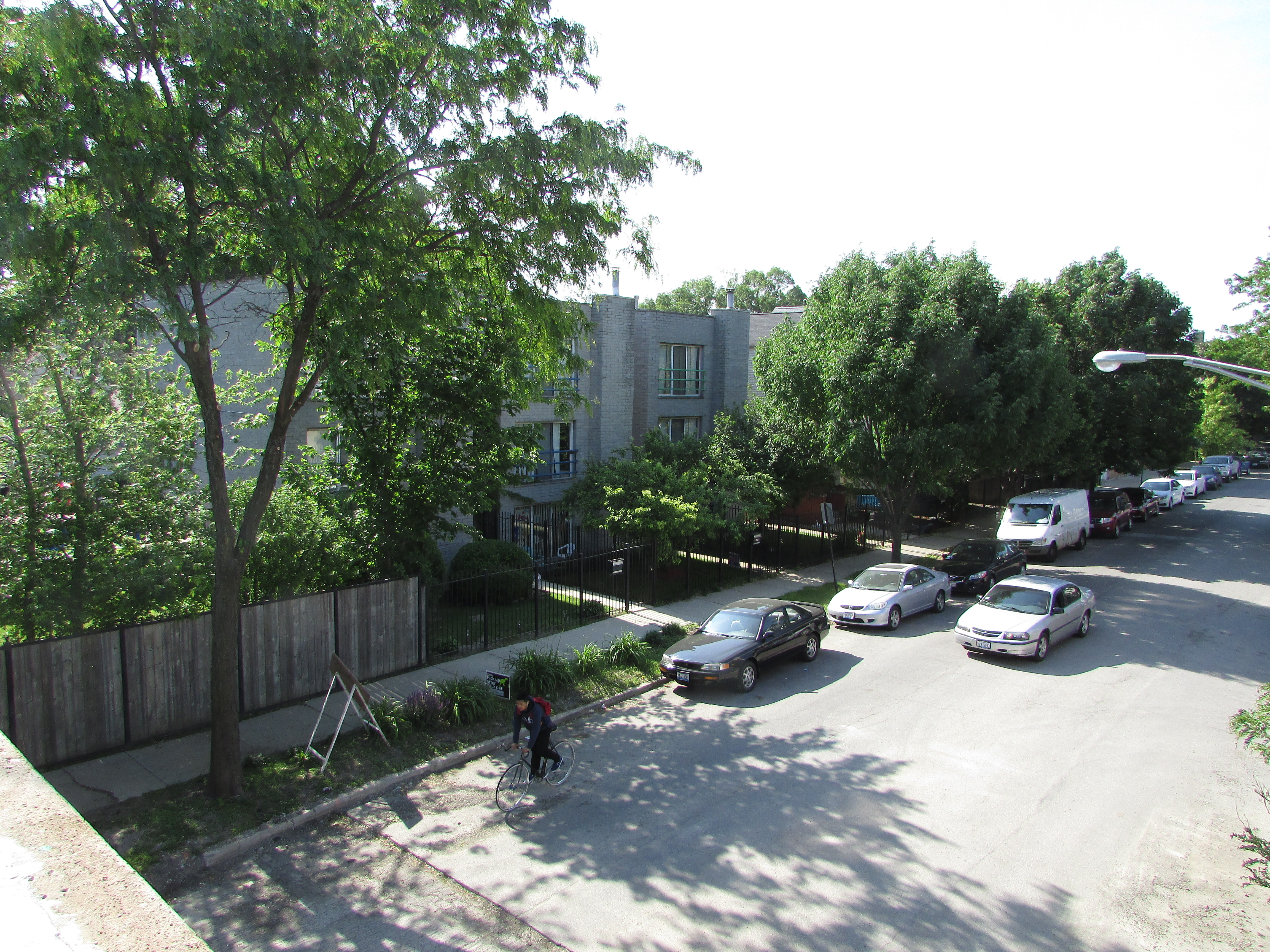
A view of my own street, North Campbell Avenue, from the trail crossing above.
The trail is almost certainly accelerating those trends, but as a resident of eastern Humboldt Park since building a new home on an infill lot in 1994, at a location about one-third of the way from the eastern end, I can attest that it is not the sole source of such gentrification, which was already well underway to the east, in Wicker Park and Bucktown, even then, when the mere idea of the trail was barely a glimmer in the minds of the biggest visionaries in town. It has inexorably marched west. The question is not the direction in which trends are moving, but the pace.
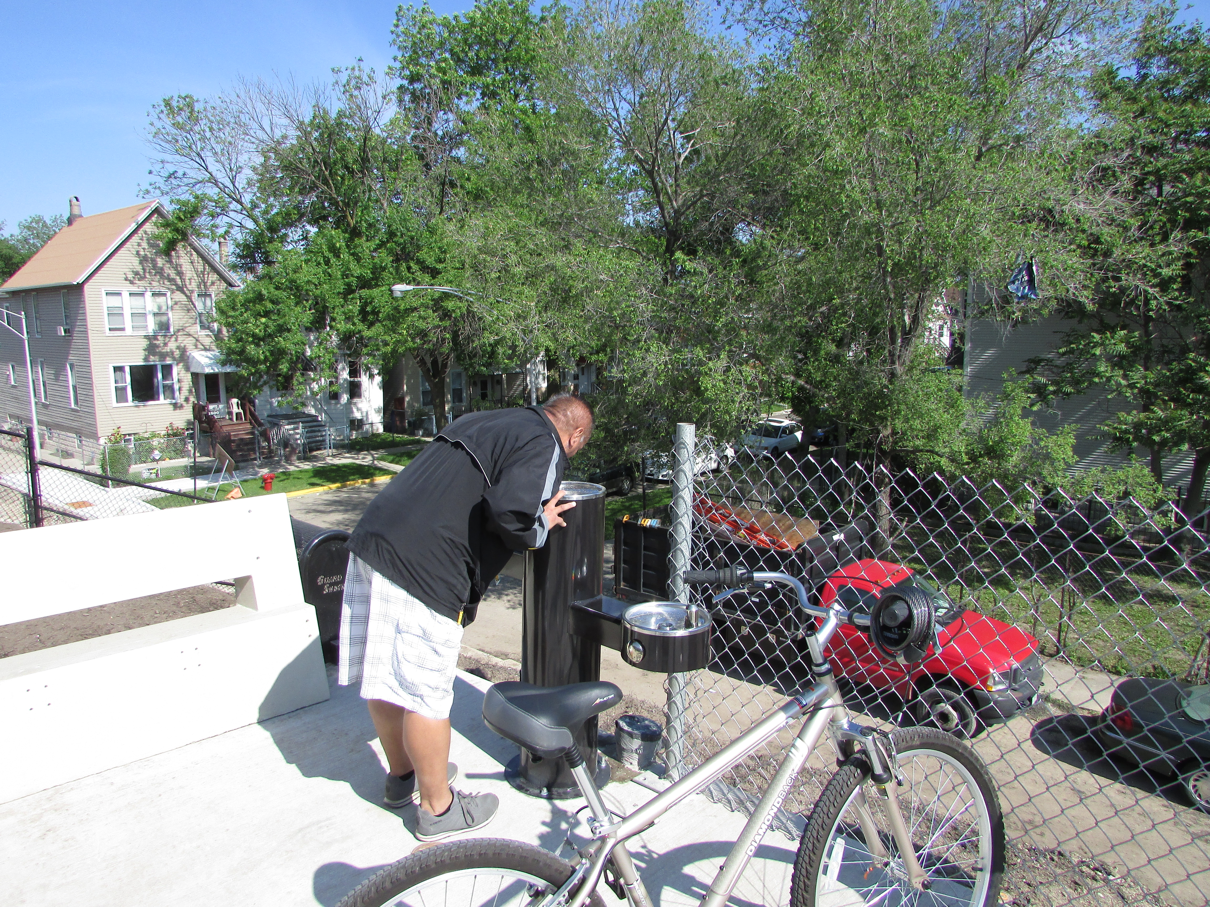
No need to leave the trail if you’re thirsty. Water fountains appear at decent intervals.
The question is also not whether residents of the area want such an amenity. Now that the 606 Trail and Park is open, it is unquestionably a beautiful space that offers great recreational and physical activity value to a substantial chunk of Chicago. Nearly 100,000 Chicagoans are within walking distance of the trail, depending on how you calculate that distance. (Speaking for myself, one mile is no big deal, but for others it could be insurmountable, depending on age and physical condition.) The views from the trail are stupendous and varied. What is at issue for those concerned about being priced out is whether working and low-income people of modest income and resources can enjoy the park they have so long awaited. It is a volatile equity issue the city needs to address.
In any event, there was always the opposite question: What if we did not develop such a trail? The abandoned rail line, left unattended, would eventually become a serious liability for the city, yet the cost of tearing it down, ending up with nothing, might well have been comparable to the $95 million ultimately invested in creating something, something noteworthy and positive. Doing nothing with this obsolete space was never a viable option. It would have become an eyesore or worse.
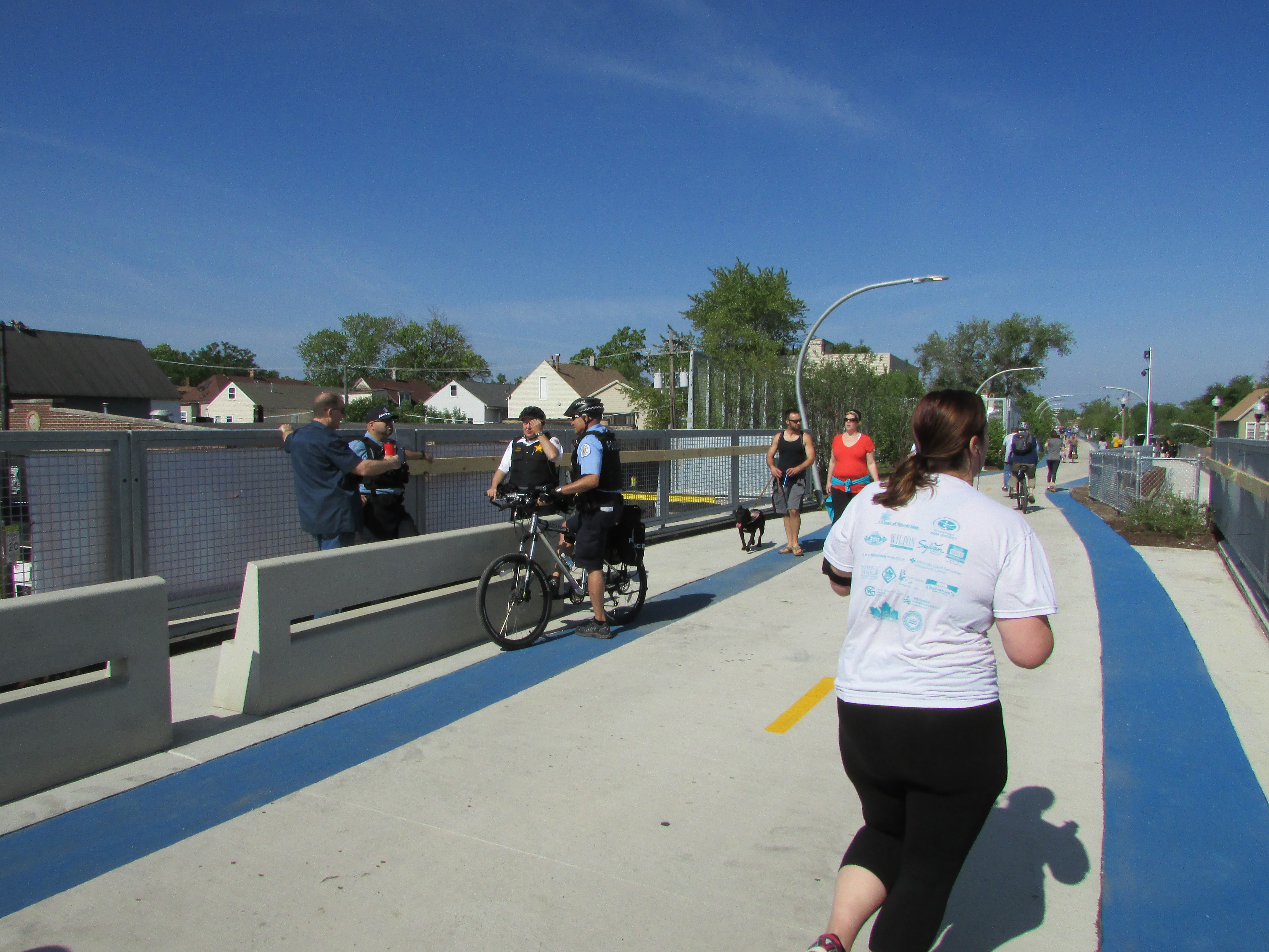 One issue that a few have feared almost certainly will not come to pass: increased crime and vandalism. On opening day, despite teeming crowds, some running, some walking, some cycling, and some with dogs and baby strollers, along the entire length as I rode my own bicycle, stopped, shot photographs, and talked with volunteers, I saw absolutely no accidents and no incidents. People on wheels respected the pace and space of those around them. The trail seemed to bring out the best in everyone; Jane Jacobs’s long-ago observation about the value of “eyes on the street” never seemed so true. People with homes adjoining the trail seemed to enjoy the presence of the passersby, some sitting on decks and in backyards waving at trail users, including the occasional marching band participating in the celebration.
There will be time to engage in more deliberative debate about the impacts of the 606. For today, on this blog at least, I prefer to take time to offer a visual celebration by sharing some of more than 130 photos I shot that opening morning. Enjoy the views.
Want to just watch the traffic go by? Sit on a bench.
Jim Schwab
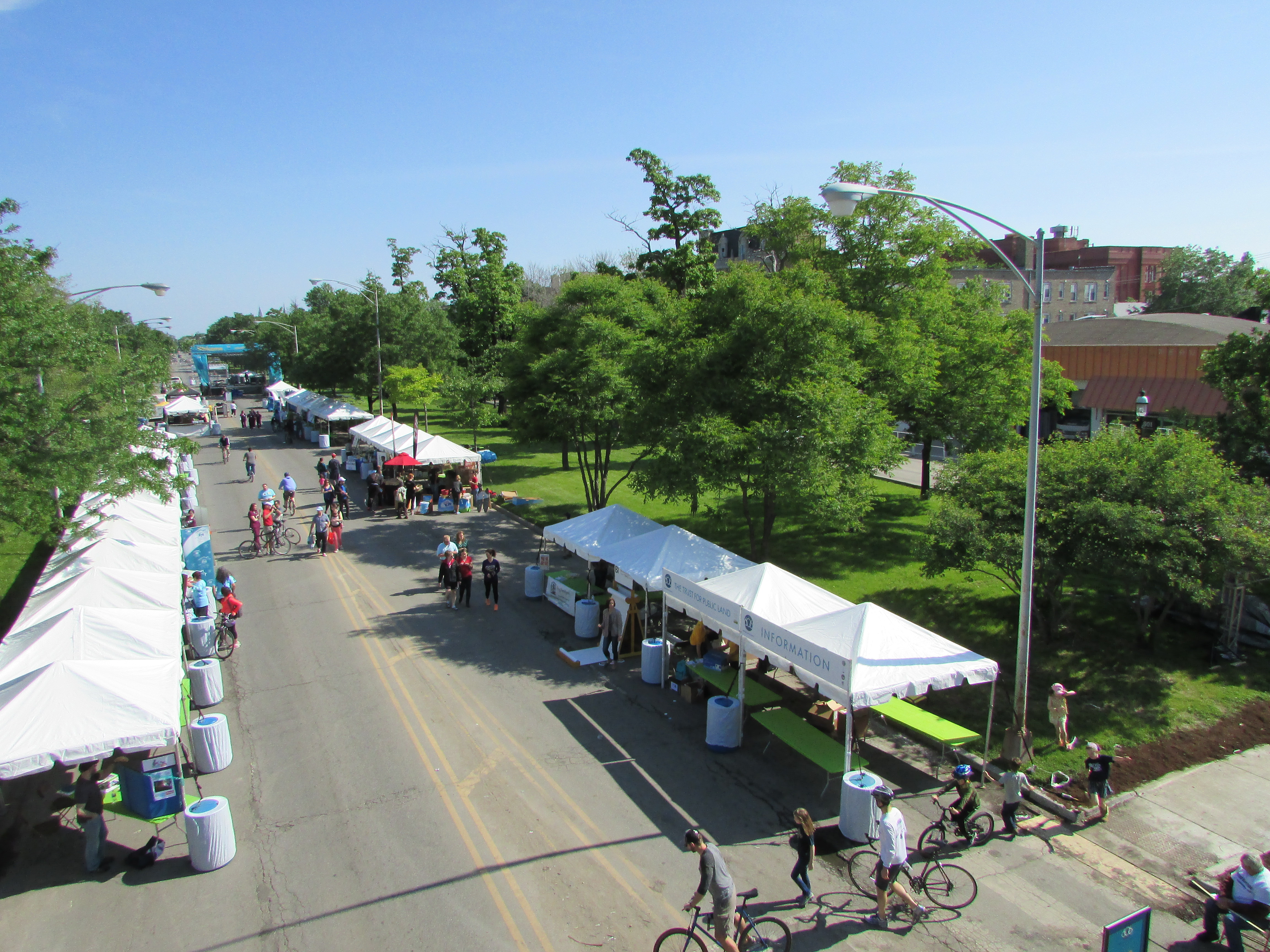
Or watch the street fair below on Humboldt Avenue on opening day, June 6.